Day 59: Wisdom, MT to Darby, MT (58.0 miles)
After an intense thunderstorm last night, we woke up to 38 degree temperatures! It took a while to get warm, even with 3 layers on!
I stopped at the Big Hole Battlefield National Monument to hear the story of the Nez Perce Indians and the bloody battle that occurred here in 1877. It remains a sacred place.
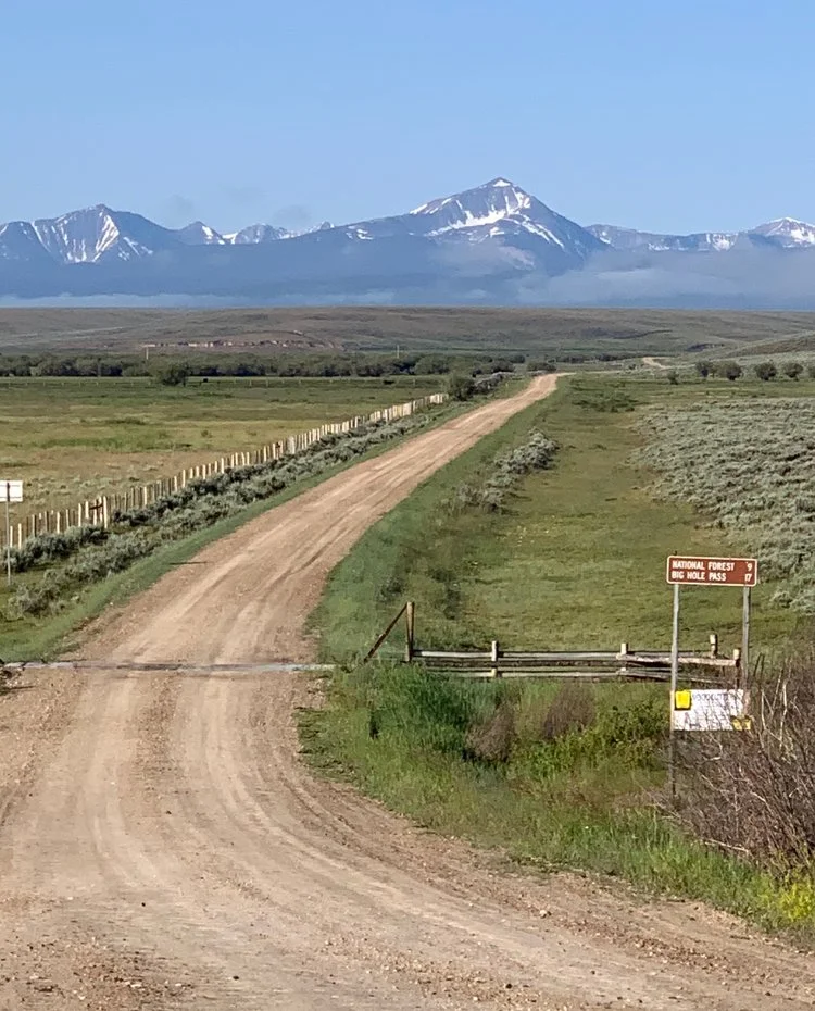
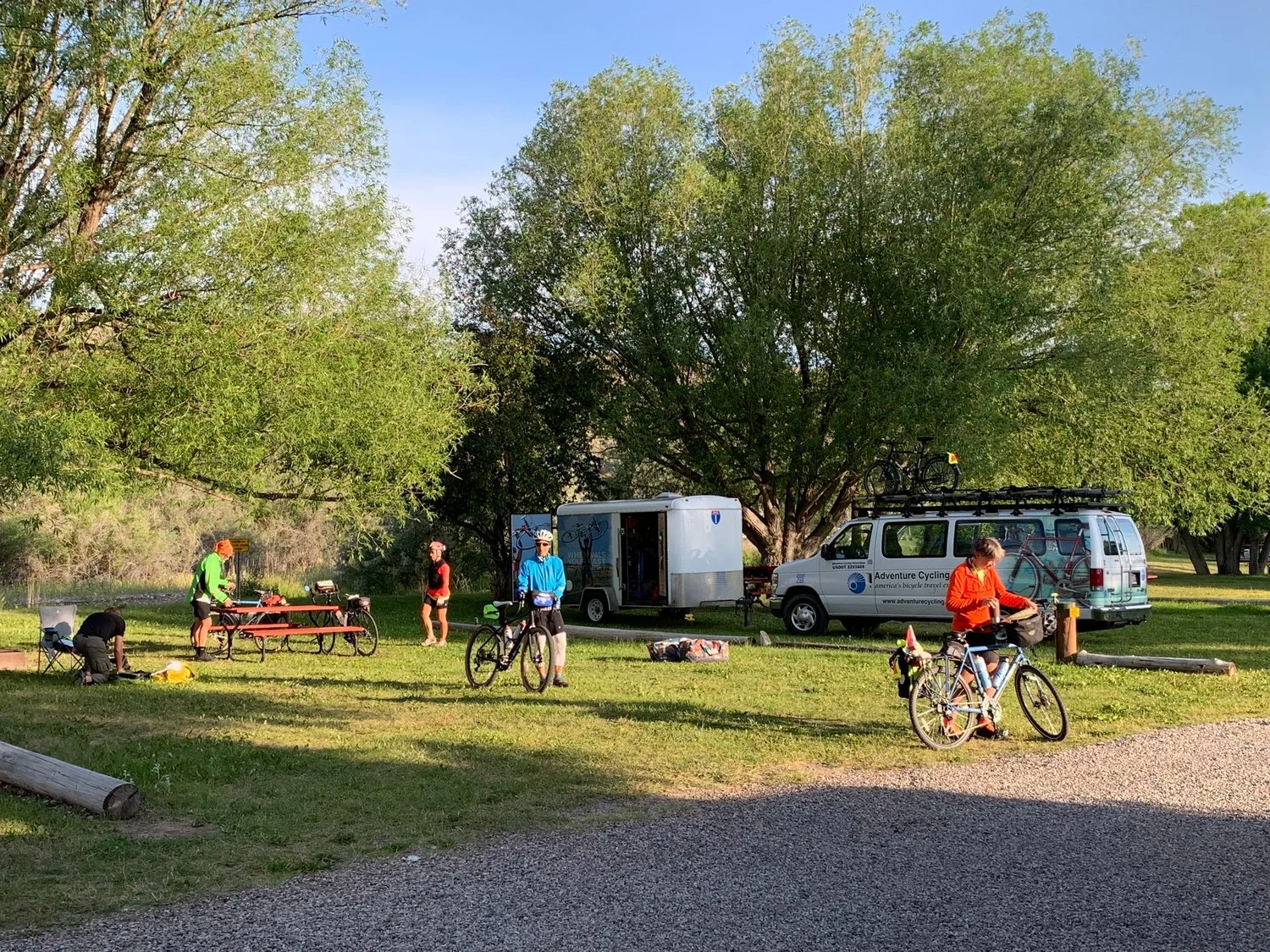
After this visit, the route became wooded and started to ascend up towards Chief Joseph Pass (7,241 ft) and Lost Trail Pass (7,014 ft). The 7 mile downhill was welcome, but construction slowed the descent. We stopped in Sula for lunch and to warm up. From Sula, we followed the East Fork and Main branch of the Bitterroot River all the way to Darby, tonight’s destination. We camped at Travelers Rest Campground. After dinner, we built a fire (1st one) to make s’mores, which were excellent.
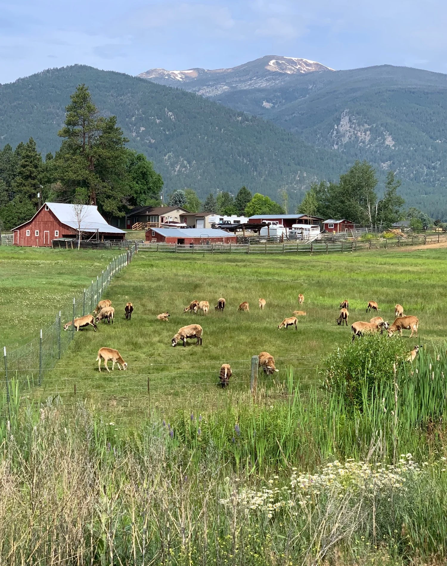
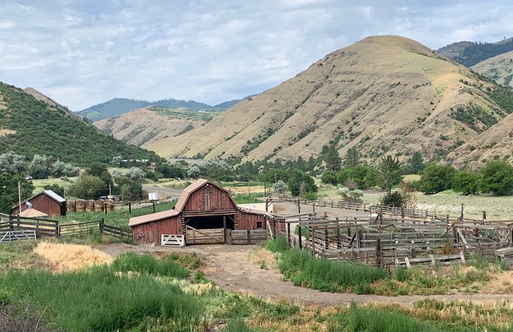
Image above: Ranch outside of Wisdom
Waking up to 38 degrees in Wisdom on July 9
Big Hole Battlefield National Monument
Site of Big Hole Battle
Chief Joseph Pass (7,241 ft)
Flowers under the pine trees
East Branch of Bitterroot River
Eagle Nest near Wisdom
Bitterroot River - Darby Bridge Access
View from Darby campsite
