Day 29: Boonville, MO to Higginsville, MO (70.5 miles)
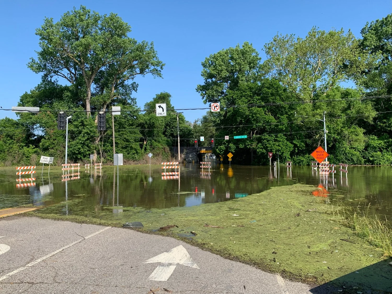
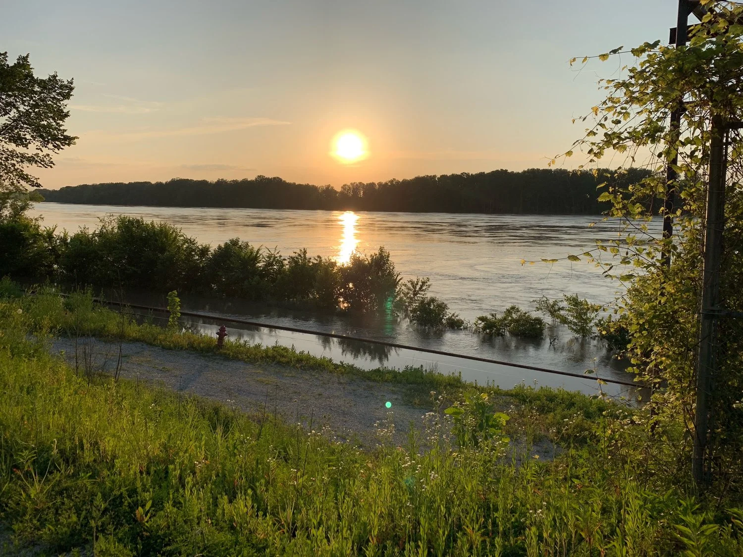
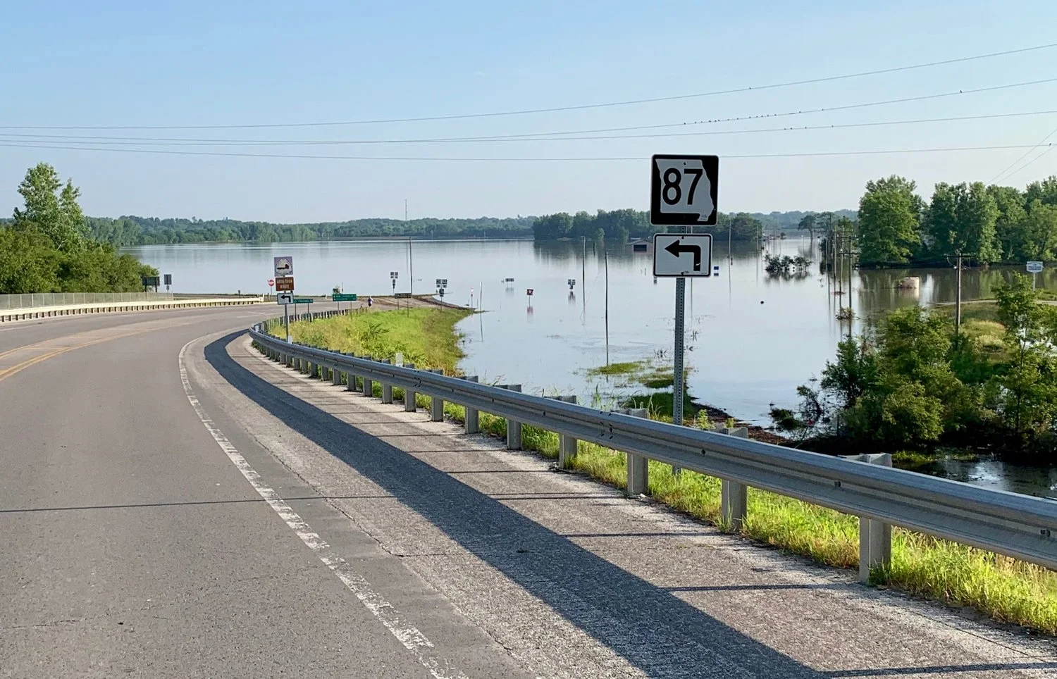
Before leaving Boonville, most of the group rode down to west Main Street to see the massive flooding of the Missouri River. It was truly an amazing sight. According to several local people, the river will take months to recede. After that, we travelled on the Katy Trail for 3 miles. The original intent of this ride was to ride the entire Katy Trail, which runs about 250 miles, but flooding has prevented that. Between today and several days ago in St Charles, Dan and I rode 23 miles of the Katy Trail. Maybe next time… Today’s ride passed through the towns of Arrow Rock, Marshall, Alma, Corder, and Higginsville. We rode mostly on SR41, SR20, and SR250. The only tough part of today was 15-20 mph headwinds, especially the last 20 miles. In Higginsville we are camping at Fairgrounds Park.
Image above: Boonslick Bridge in Boonville - epic flooding

Sinclair station - an oasis in hot weather

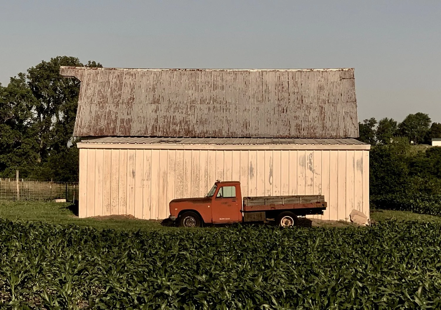
Missouri farmland

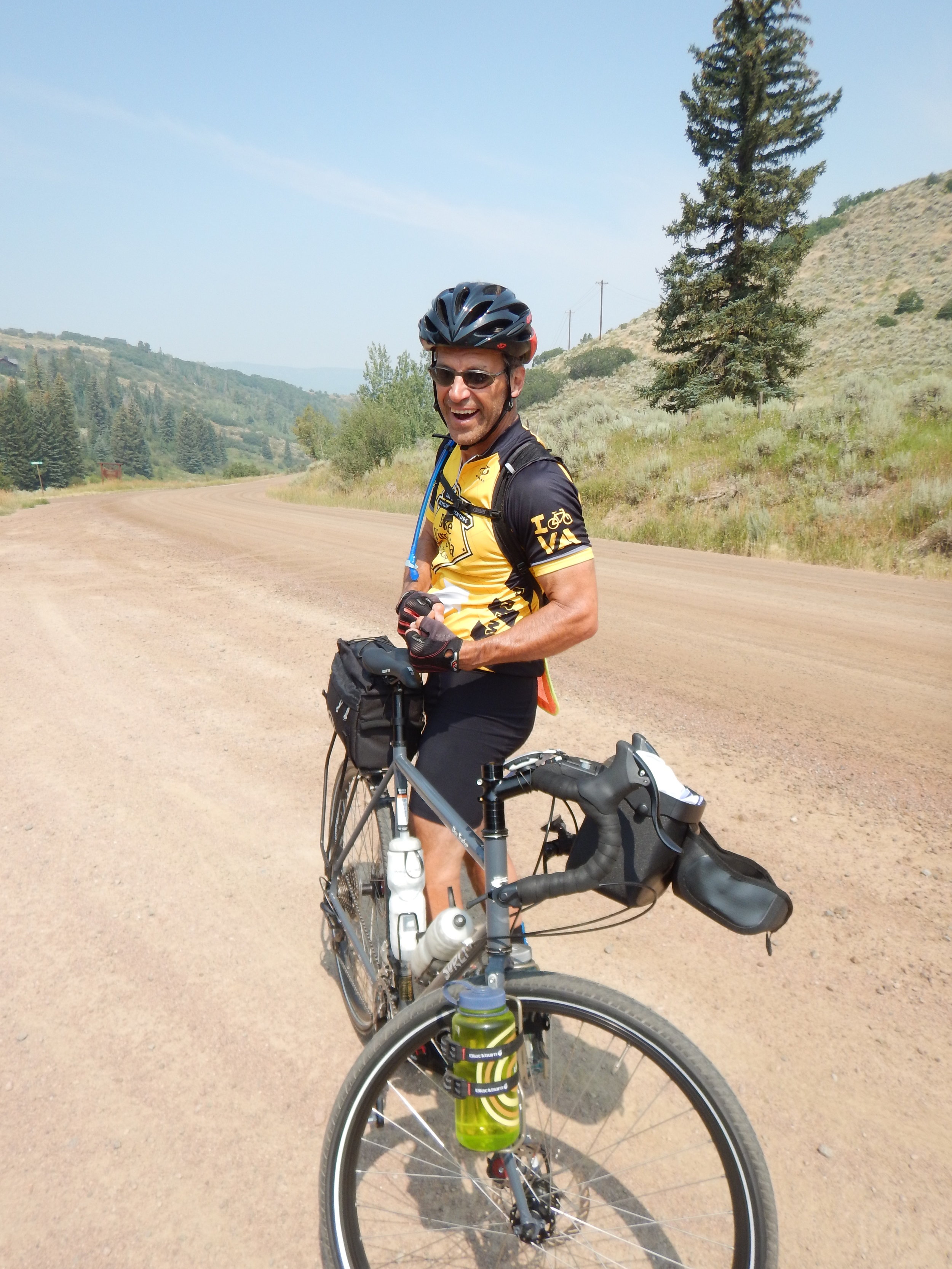
Along the road

We crossed the Santa Fe Trail